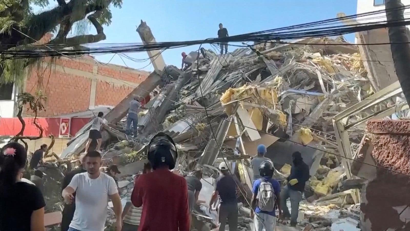
Ground doesn't just shake in Colombia; it violently rearranges human lives on a regular basis. If you think seismic threats are confined strictly to places like California or Japan, you haven't looked closely at South America's northern edge. Colombia sits squarely on a restless tectonic intersection where the Nazca, South American, and Caribbean plates grind against each other constantly. This volatile geography generates thousands of tremors every single month. Most go completely unnoticed by anyone outside a seismology lab. But historical catastrophes prove that when the earth finally snaps here, the devastation is absolute.
The 1906 Megathrust Cataclysm
On January 31, 1906, the Pacific coast experienced an 8.4 to 8.8 magnitude earthquake that ranks among the largest seismic events ever recorded globally. Centered near the Ecuador-Colombia border, the violent rupture triggered a catastrophic trans-Pacific tsunami. Waves reaching up to sixteen feet slammed into coastal towns like Tumaco. The surge was so powerful that it forced local rivers to flow backward for miles, wiping entire settlements completely off the map. Hundreds of people lost their lives instantly, and the event forever changed how scientists understand megathrust faults along South America's western margin.
The Popayán Disaster of 1983
Big numbers on the Richter scale don't tell the whole story. Sometimes a moderate earthquake causes disproportionate heartbreak because of poor structural integrity. On March 25, 1983, a magnitude 5.5 earthquake struck Popayán, a historic Colombian city known for its colonial white architecture. While 5.5 sounds mild compared to megathrust monsters, the shallow depth of the hypocenter directly beneath the city center caused catastrophic damage. Over two hundred people died, and a massive percentage of the colonial buildings crumbled into dust. It woke the country up to the harsh reality that old, unreinforced masonry stands zero chance against moderate inland faults.
The Armenia Quake of 1999
Memory fades fast, but the January 25, 1999 earthquake near Armenia, Colombia, remains a deep scar for the Coffee Triangle region. Measuring 6.2 in magnitude, the quake killed over one thousand people and left nearly two hundred thousand homeless within seconds. Entire neighborhoods of adobe and poorly constructed brick buildings pancake-collapsed. Rescue operations faced massive hurdles as landslides blocked mountain passes leading into the disaster zone. Economists still study the 1999 event because it devastated regional coffee production and forced a complete overhaul of national building codes.
Why Colombia Seismic Risk Keeps Growing
Urban expansion changes the math of natural disasters. More people live in high-risk zones today than ever before. Cities like Bogotá, Medellín, and Cali sit near active fault systems capable of producing severe ground acceleration. Modern engineering standards have improved dramatically since the tragedies of the twentieth century, but informal housing settlements built on steep hillsides remain dangerously vulnerable to landslides triggered by smaller shakes.
Knowing your local building codes and having an emergency plan isn't paranoia. It's basic survival when you live on an active tectonic boundary. Check your home's structural resilience, secure heavy furniture, and keep an emergency kit ready because the ground will shake again.
Colombia's Deadliest Earthquake & Tsunami | The 1906 Tragedy
This short video covers the historical impact and massive tsunami of the 1906 Colombia-Ecuador earthquake.
http://googleusercontent.com/youtube_content/1