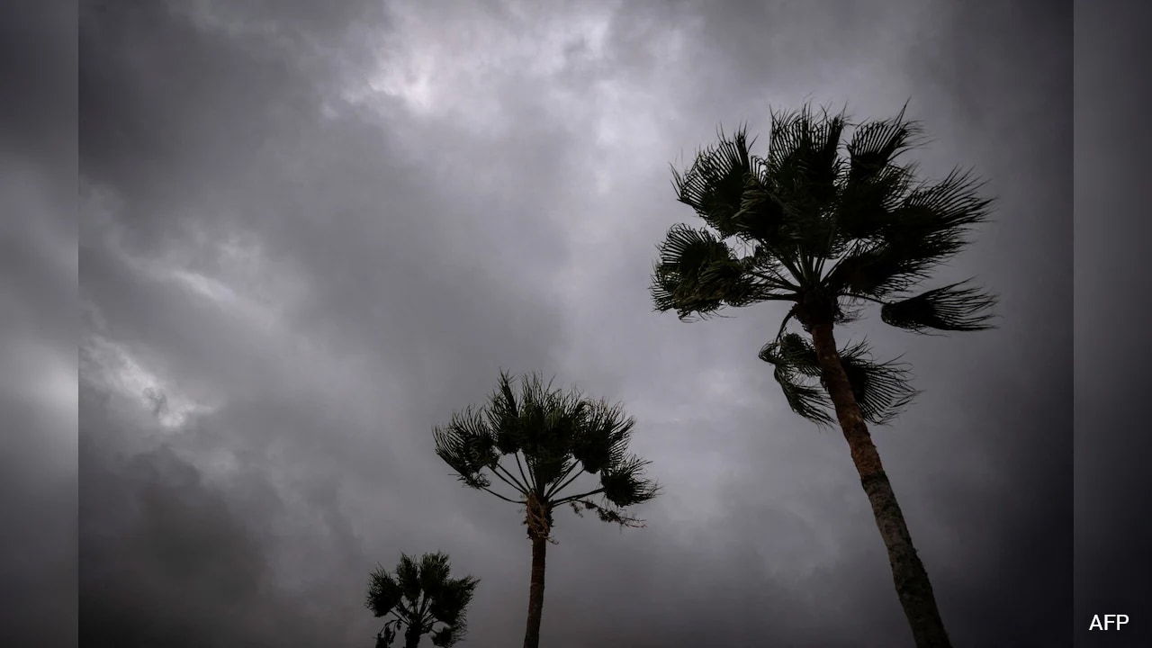
High winds are ripping through Mexico's northern Pacific coast as towering ocean waves crash against temporary earthen barriers. Hurricane Polo is barreling straight toward Baja California Sur as a dangerous Category 3 storm, carrying sustained winds of 115 mph. Local authorities have scrambled hundreds of emergency evacuation teams, while coastal communities watch sea defenses buckle under the relentless pressure of storm surges.
If you are tracking tropical weather patterns right now, you know this season's Pacific surge isn't slowing down. El Nino conditions are supercharging storms, creating a compounding threat for vulnerable shorelines and inland populations alike.
What is Happening on the Ground Right Now
Puerto San Carlos tells a tense story. This fishing town of roughly 5,700 people has largely emptied out as residents head for school shelters and designated community safe zones. When the tide rises, earthen barriers built to shield the town from the sea struggle to hold firm. Fishermen and local families are making the hard choice to abandon their homes. Material possessions can be replaced, but survival requires fast action when a 115 mph monster approaches land.
Mexico's Civil Protection Agency has shut down ports and suspended non-essential activities across entire municipalities. In the state of Sonora, officials halted school, sports, and regular business operations to keep people off the streets. Meanwhile, the Mexican navy has deployed specialized vessels and emergency personnel to stage along the northern Pacific coast, preparing to deliver aid to communities that could easily become isolated by rising water.
The Real Threat of Flash Floods and Mudslides
Wind gets the headlines, but water causes the casualties. Forecasters predict that Hurricane Polo will drop up to 12 inches of rain across parts of Baja California Sur before tracking toward the mainland. That massive volume of water falling on rugged, dry terrain sets the stage for catastrophic flash flooding and sudden mudslides.
Dry canyon floors and rocky expanses cannot absorb that much moisture all at once. When heavy rain hits these landscapes, torrents of water rush down mountain slopes with little warning. Civil protection coordinators are pleading with residents in low-risk and high-risk zones alike to stay indoors and obey evacuation orders. Travel across the expected landfall corridor is completely restricted.
The Ripple Effect Heading Toward the US Southwest
Polo's destructive path doesn't stop at the Mexican border. As the storm system weakens and tracks eastward, its remnants will likely feed moisture straight into the US Southwest. States like Arizona, Utah, New Mexico, and Texas have already seen severe saturation from previous weather events this year. Dropping another heavy round of rainfall onto arid desert terrain creates an immediate hazard for canyon country and low-lying roads. Hydrologists are warning communities to stay alert as these tropical remnants merge with local weather fronts.
Emergency planners urge anyone living in flood-prone regions to clear drainage paths, secure outdoor items, and monitor local weather alerts continuously. Keep emergency kits packed and ready to deploy if local authorities issue mandatory warnings. Do not drive across flooded roadways, as just a few inches of moving water can sweep vehicles away. Take these precautions seriously before severe weather hits your doorstep.