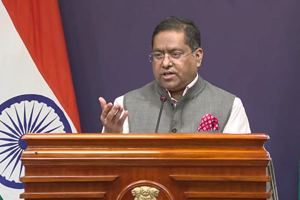
International diplomacy rarely moves in straight lines. When the United Nations floated a resolution regarding world maps and geographic proportions, most people missed the quiet storm brewing underneath. India voted in favor of the proposal. But New Delhi didn't do it blindly. Foreign Ministry spokesperson Randhir Jaiswal made sure the world understood that territorial integrity is not up for negotiation.
If you look closely at global cartography, you realize that traditional maps have lied to us for centuries. The standard Mercator projection distorts the size of landmasses. Africa and India look much smaller than they actually are, while North America and Europe appear bloated. The UN resolution aims to promote equal-area maps like the 'Equal Earth' projection. It fixes geographical distortion. That is why India pressed the green button alongside 164 other nations.
Why Washington Stood Alone Against The Map
Here is the twist that caught global analysts off guard. Only one country voted against the resolution: the United States. Meanwhile, nations like Ukraine, Serbia, Georgia, Estonia, Lithuania, and Moldova sat on the fence and abstained.
Washington's opposition wasn't about cartographic science. It stems from institutional skepticism regarding how global bodies handle geographic standards and bureaucratic overreach. But for countries in the Global South, accurate representation matters. For decades, map distortion has subtly shaped how the world perceives the scale and importance of developing nations. India supporting the resolution aligns with its broader stance on international equity.
The Non-Negotiable Stance On Jammu And Kashmir
Voting for a geographical projection resolution does not mean signing a blank check. New Delhi drew a massive, uncrossable red line regarding its borders.
The Ministry of External Affairs made it crystal clear that Jammu and Kashmir and Ladakh are integral and inalienable parts of India. Any map depiction that misrepresents these regions will never be accepted. The UN resolution itself is non-binding. It doesn't force tech giants, textbook publishers, or sovereign states to instantly burn their old Mercator maps. Yet, India used the global platform to reiterate its sovereign position loud and clear.
You see, international forums are stages. Every vote sends a signal. By backing the push for geographical accuracy while fiercely defending its official borders, India walked a diplomatic tightrope with absolute precision.
What This Means Moving Forward
Cartography is political. Maps are weapons of statecraft as much as they are scientific tools. Tech companies and global cartographers often stumble when rendering South Asian borders under international pressure. India's latest diplomatic maneuver acts as a pre-emptive strike against any sloppy map-making by global platforms.
You can support scientific accuracy in global mapping without yielding an inch of sovereign territory. That is the exact message New Delhi delivered. Watch how international publishing houses and digital platforms handle regional boundaries in the coming months. The pressure to get Indian borders right isn't easing up anytime soon.