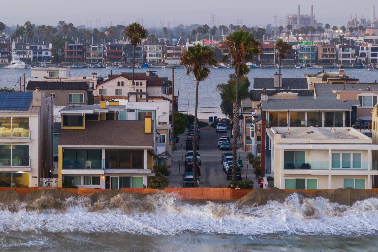
The Pacific Ocean is cooking up something massive, and coastal residents are about to pay the price. Scientists at the Climate Prediction Center have pushed the odds of a full-blown super El Niño past ninety-five percent. That is not a casual warning. Officials from San Diego up to Humboldt County are looking at data that mirrors the most destructive winter patterns in modern history.
If you live near the water, you need to stop writing this off as standard weather hype. Let's look at what is actually happening beneath the surface and why this winter threatens to rewrite shoreline geography.
The Numbers Behind the Panic
Weather models rarely agree on anything with this much certainty. The National Oceanic and Atmospheric Administration notes a seven-in-ten chance that this event rivals the monstrous patterns of 1982-83 and 1997-98. Those years did not just bring rain; they rearranged cliffs, collapsed highways, and drowned entire neighborhoods in mud and saltwater.
Ocean temperatures across the equatorial Pacific have spiked at a historic pace. Mark Merrifield, director of the Center for Climate Change Impacts and Adaptation at Scripps Institution of Oceanography, points out that satellite data already shows unusual baseline water heights across the eastern Pacific. Water expands as it heats up. Add thermal expansion to altered wind patterns, and you get a recipe for swollen coastlines.
Why High Tides Will Break Records
People usually focus on rainfall totals when El Niño enters the conversation. That is a massive mistake. The real danger for coastal zones comes from sea level anomalies combined with high tides and winter storm surges.
During past major events, places like San Francisco saw temporary sea level jumps of half a foot to a full foot. That might sound manageable on paper. It becomes terrifying when a high king tide rolls in alongside a thirty-foot swell driven by a deep low-pressure system.
When those forces collide in November and December, standard seawalls fail. Parking lots turn into lagoons. Waterfront homes built on sand spits suddenly find themselves in the surf zone.
The Disappearing Beach Buffer
Beaches are not just tourist attractions. They are shock absorbers.
When giant El Niño waves smash against the coast day after day, they strip millions of tons of sand off the shoreline. Historical data shows that California beaches can shift landward by nearly one hundred feet during these extreme phases.
Once the sand buffer vanishes, heavy surf hits coastal infrastructure directly. Asphalt cracks. Foundations undermine. Municipalities spend millions dumping emergency rock barriers that often get dragged back out to sea by the next tide.
Rain is Only Half the Battle
Southern California often braces for mudslides during these cycles, and rightfully so. Burn scars from previous wildfire seasons turn into rivers of debris when heavy precipitation falls on stripped hillsides. But the atmospheric river frequency paired with high coastal water levels creates a double-sided crisis.
Drainage systems rely on gravity to push storm water out to the ocean. When coastal sea levels are abnormally high, gravity stops working the way it should. Water backs up into street drains, flooding inland intersections even before local creeks crest.
What You Should Do Right Now
Complacency kills property during weather anomalies of this scale. If you own coastal real estate or manage municipal infrastructure, stop waiting for November forecasts.
Inspect your property drainage immediately. Clear out private and public culverts before the first heavy atmospheric river hits. If you live in a low-lying coastal zone prone to tidal flooding, stock up on sandbags and check your flood insurance policy today. Insurance companies frequently implement binding moratoriums on new policy changes once severe storm systems form on the horizon.
The signs are locked in. The ocean is primed. Prepare your defenses now while you still have dry ground to stand on.